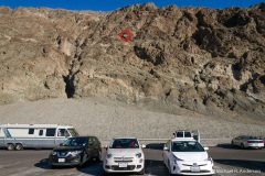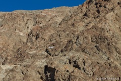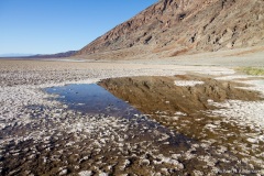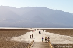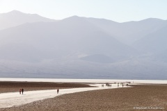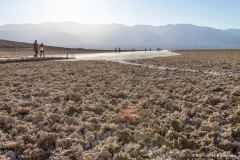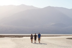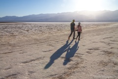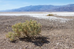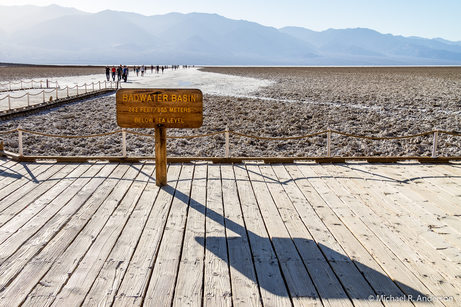
The lowest spot in North America is located in Death Valley National Park. Badwater Basin, as this location is known, sits 282 feet below sea level. If you’re unable to estimate 282 feet, the Park Service was kind enough to place a sign on an adjacent hillside to show where sea level is located. In case your eyes are as bad as mine, I was kind enough to put a red circle on one of the following photographs to show where the sign is located.
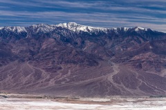
If something is low, then there must be something else that’s high. Death Valley is literally surrounded by high. The Amargosa Range, which includes the Black, the Funeral, and the Grapevine Mountains, borders it on the east. The Panamint Range, which includes the Cottonwood Mountains, borders it on the west. The north and south ends of the park are hemmed in by the Silvania and Owlshead Mountains, respectively. These mountain ranges are responsible for the weather patterns that offer only 2.4 inches of rainfall a year to the parched landscape. So, Death Valley has both extremes, from 282 feet below sea level at Badwater to 11,049 feet above sea level at Telescope Peak. That’s over 2 miles from the bottom to the top.
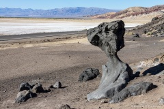
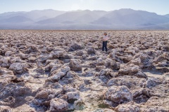
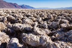
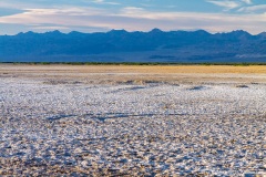
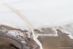
Heading north from Badwater, the road skirts the eastern edge of the salt flats and provides expansive views off to the west. A short side road will take you to a spot in the salt flats known as the Devil’s Golf Course, where the salt crystals are (according to the Park Service sign) “jagged formations of this forbidding landscape.” The crystals may look delicate but they are very hard. This would not be a good place to trip and fall.
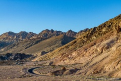
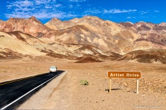
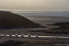
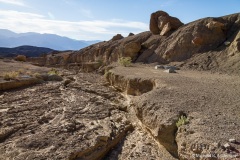
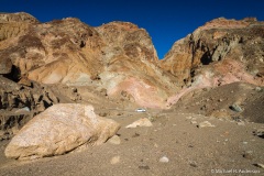
Further up the road the scenery to the west remains flat but changes texture and color. If you look to the east, however, there are places where the landscape rises up into tall hillsides that are a confusing mixture of tans and browns. It looks like someone — I’m sure the Church Lady would say Satan — dropped a huge marble cake here and didn’t bother to clean it up. For a closer view you can take the one-way loop road named Artist Drive. It’s a narrow, curvy, hilly, fun, and popular drive into the colorful hills. We decided to watch the sunset here one evening. The sunset was rather pitiful but it was still a great place to hang out for a while.
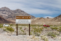
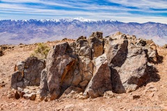
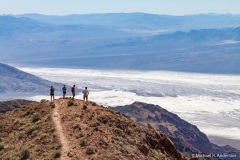
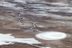
Not all of the roads in the park are at low elevations. Of the roads we drove on, I would have to say that my favorite was Dante’s View Road, not because of what we saw along the road, but because of what we saw where the road ended. Dante’s View is a viewpoint at an elevation of 5,476 feet on the north side of Coffin Peak. It provides spectacular views of Death Valley and the snow-covered (at least when we were there) Panamint Mountains. If you look straight down you can see Badwater sitting 5,758 feet below! In one of the following photos, see if you can spot the people walking on the salt flats over a mile below. I did not include red circles this time!
[In case any photographers are wondering, the photo of Badwater from Dante’s View was taken with a 70-200mm lens set at 176mm on a 1.6x crop-frame camera body. So, the full frame equivalent focal length was 282mm.]
One final note, if something doesn’t look very pretty, go back later in the day.

