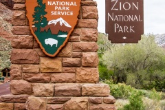
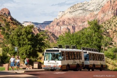
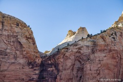
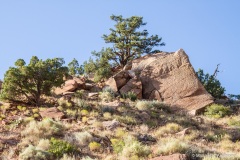
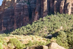
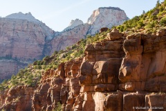
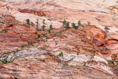
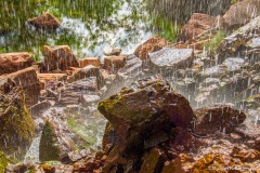
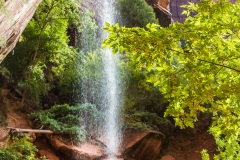
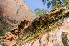
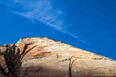
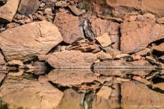
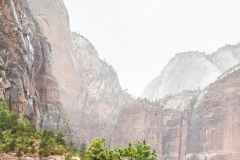
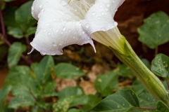
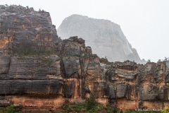
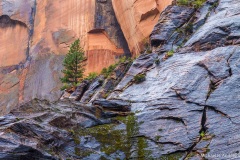
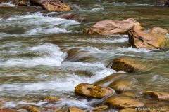
In 1909, President Taft protected the beautiful canyon through which the Virgin River flows by creating Mukuntuweap National Monument. President Wilson enlarged the protected area in 1918 and changed the name to Zion National Monument, a name less likely to put off potential visitors. A year later Congress established it as Zion National Park. Today the park covers 229 square miles in two sections, the Zion Canyon and Kolob Canyon areas. Most visitors come to see the 15-mile long Zion Canyon formed by the North Fork of the Virgin River, which has carved its path through the reddish-brown Navajo sandstone. Zion is located in southwestern Utah near the town of Springdale. It’s situated about 160 miles from Las Vegas — most via I-15 — so it’s easy to reach. This means, of course, that it can be quite overcrowded at times. During the summer, private cars are not allowed on the Zion Canyon Scenic Drive; shuttle buses are provided to take visitors in that part of the park. If your goal is Zion Canyon, you can even catch the shuttle at several locations in Springdale and avoid driving in the park altogether. The photos in this gallery were taken in September 2011 and April 2012.
